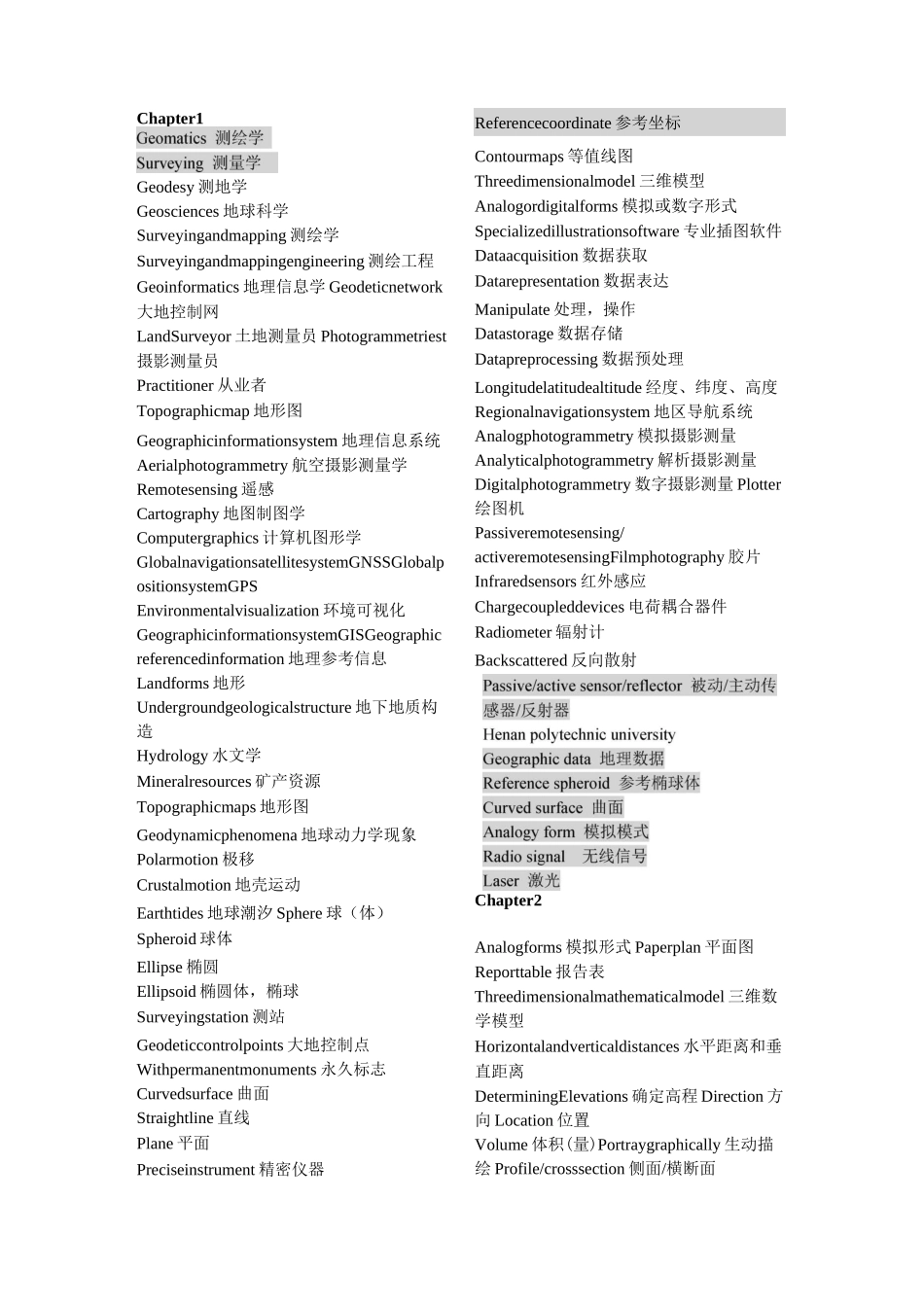
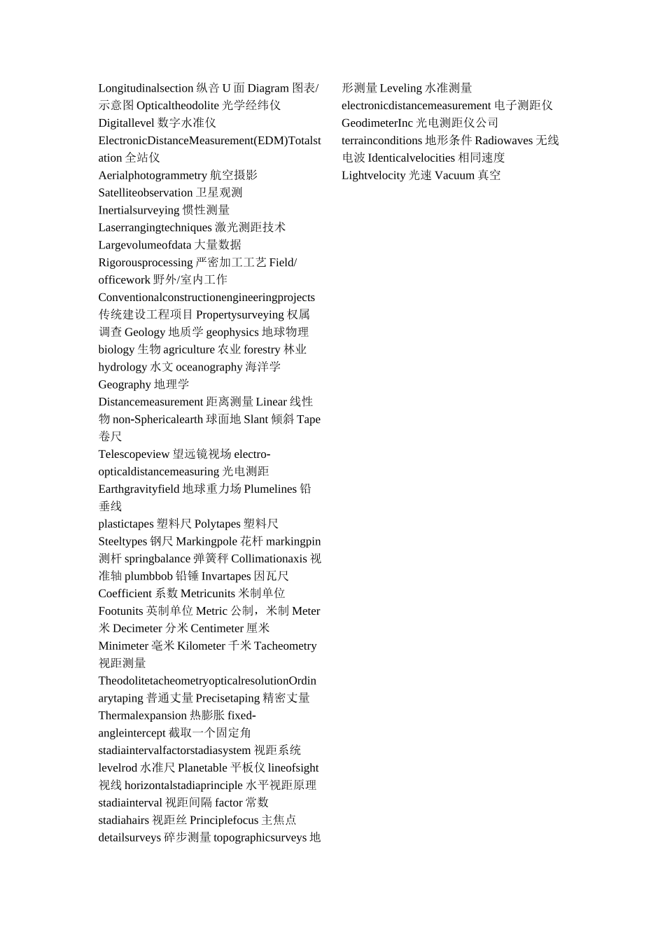
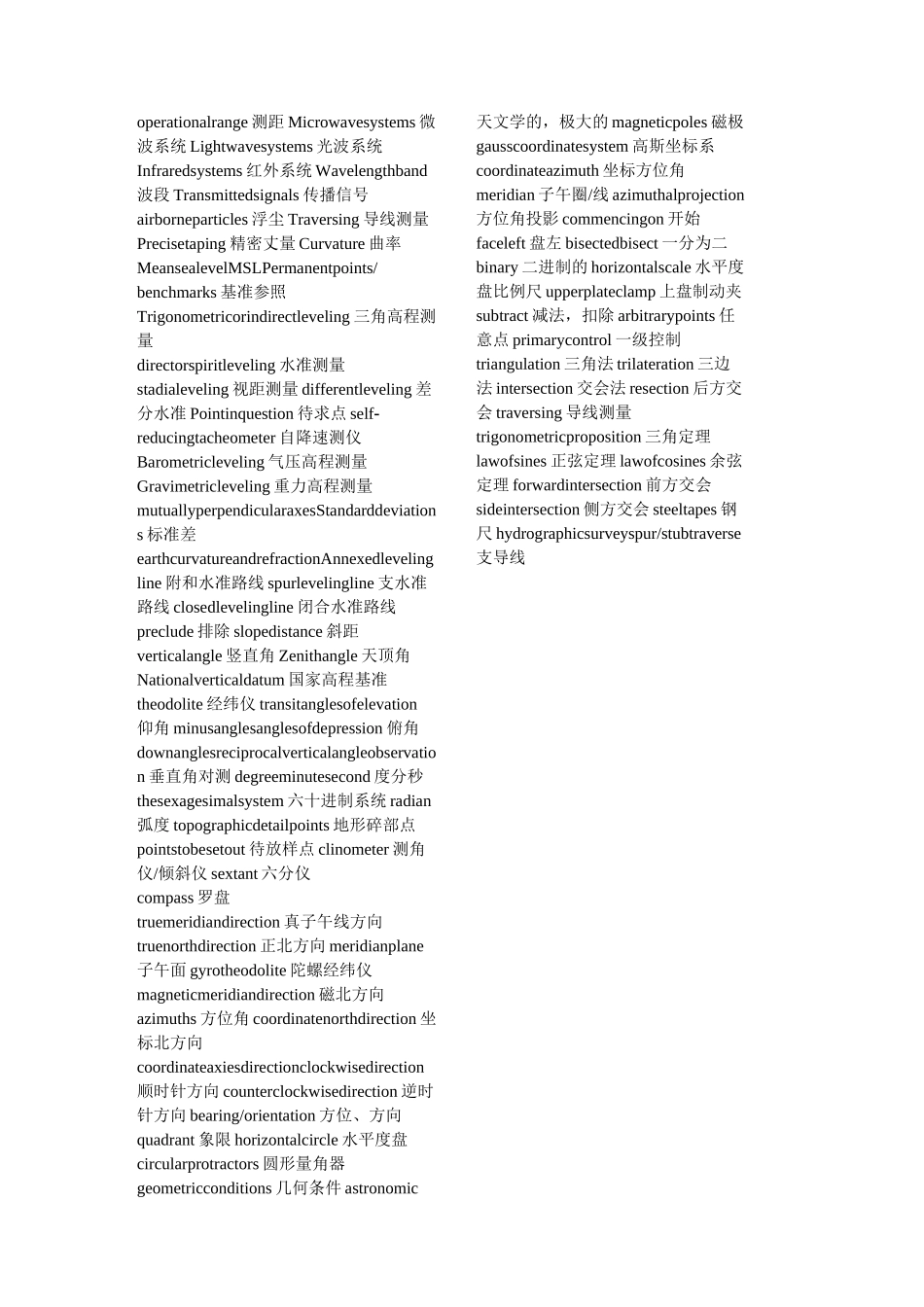
Chapter1Geodesy 测地学Geosciences 地球科学Surveyingandmapping 测绘学Surveyingandmappingengineering 测绘工程Geoinformatics 地理信息学 Geodeticnetwork大地控制网LandSurveyor 土地测量员 Photogrammetriest摄影测量员Practitioner 从业者Topographicmap 地形图Geographicinformationsystem 地理信息系统Aerialphotogrammetry 航空摄影测量学Remotesensing 遥感Cartography 地图制图学Computergraphics 计算机图形学GlobalnavigationsatellitesystemGNSSGlobalpositionsystemGPSEnvironmentalvisualization 环境可视化GeographicinformationsystemGISGeographicreferencedinformation 地理参考信息Landforms 地形Undergroundgeologicalstructure 地下地质构造Hydrology 水文学Mineralresources 矿产资源Topographicmaps 地形图Geodynamicphenomena 地球动力学现象Polarmotion 极移Crustalmotion 地壳运动Earthtides 地球潮汐 Sphere 球(体)Spheroid 球体Ellipse 椭圆Ellipsoid 椭圆体,椭球Surveyingstation 测站Geodeticcontrolpoints 大地控制点Withpermanentmonuments 永久标志Curvedsurface 曲面Straightline 直线Plane 平面Preciseinstrument 精密仪器Referencecoordinate 参考坐标Contourmaps 等值线图Threedimensionalmodel 三维模型Analogordigitalforms 模拟或数字形式Specializedillustrationsoftware 专业插图软件Dataacquisition 数据获取Datarepresentation 数据表达Manipulate 处理,操作Datastorage 数据存储Datapreprocessing 数据预处理Longitudelatitudealtitude 经度、纬度、高度Regionalnavigationsystem 地区导航系统Analogphotogrammetry 模拟摄影测量Analyticalphotogrammetry 解析摄影测量Digitalphotogrammetry 数字摄影测量 Plotter绘图机Passiveremotesensing/activeremotesensingFilmphotography 胶片Infraredsensors 红外感应Chargecoupleddevices 电荷耦合器件Radiometer 辐射计Backscattered 反向散射Chapter2Analogforms 模拟形式 Paperplan 平面图Reporttable 报告表Threedimensionalmathematicalmodel 三维数学模型Horizontalandverticaldistances 水平距离和垂直距离DeterminingElevations 确定高程 Direction 方向 Location 位置Volume 体积(量)Portraygraphically 生动描绘 Profile/crosssection 侧面/横断面Longitudin...


